
Walk a Sanford Street Address
A sound Sanford street directory search moves from the address to records made for different reasons. The Seminole County Property Appraiser, or SCPA, supplies the parcel and titled owner. Its map confirms the selected land and the parcels beside it. The Clerk's Official Records then supply the ownership chain. Florida voter data and the old Polk street section can add evidence of a person at an address, but neither is a complete household census.
- Enter the full address in SCPA. Copy the parcel ID, situs line, owner spelling, mailing line, legal description, jurisdiction, exemption clues, and latest sale reference.
- Open the appraisal map and confirm the parcel polygon fronts the expected road. Click adjacent polygons instead of assuming nearby numbers share a boundary.
- Use the deed instrument or book and page from the parcel card. Match the legal description before accepting named parties as part of this property's chain.
- Check permits or code files by address through Sanford Citizenserve when the parcel is in city jurisdiction. Use the public voter extract for a lawful research project, not the identity-gated self-lookup.
- For an earlier occupant, consult the 1917–18 Polk street section and the Museum's city tax rolls. Keep occupants and taxpayers distinct from owners.
The useful result is a source log, not a claim that every name lived together. Record the date or assessment year shown because a deed recording date, tax-roll year, and directory year describe different moments.
Search Sanford Property by Street
The SCPA Property Search accepts more than an owner name. A street-name query can reveal a broad run, while a full address narrows the Sanford street directory work to one parcel. A parcel card may show owner, mailing and situs lines, subdivision, legal description, values, sales, exemptions, jurisdiction, and map or plat links.
| SCPA field or mode | Input | Best street use |
|---|---|---|
| Search for Property By Anything | Owner, parcel, street, address, facility, or subdivision | Start with the street, then narrow by number |
| Real Property Sales Search | Sale, date, and property criteria | Compare recorded transfers along a street |
| Map Search | Spatial parcel browsing | Confirm frontage and adjoining parcels |
| Mailing Labels task | A selected GIS area | Create owner-mail labels responsibly |
SCPA's preliminary 2026 roll includes 181,131 real parcels and 137,979 residential parcels countywide. Daily downloads and map tools are better current sources than an old copied list. Matching situs and mailing lines, together with homestead, may support owner occupancy for that roll year, but cannot identify all Sanford residents in the home.
Decode Sanford Address Records
Several short terms keep a by-address search accurate. They link modern parcel records to plats, deeds, and old street lists without turning one kind of record into another.
- Parcel
- A tax and mapping unit identified by a parcel number. It may be a home lot, common area, road, or other land.
- Situs address
- The physical location assigned to the parcel, unlike the mailing address where the tax notice goes.
- Plat
- A recorded map that places a subdivision, block, lot, streets, and rights-of-way.
- Criss-cross directory
- An address-first list arranged by street and house number. Sanford's verified Polk volume includes this type of section.
A legal description is often more durable than a street label. When an old number does not fit, compare subdivision, lot, block, plat, and map footprint. The reviewed sources do not support guessing one citywide Sanford renumbering year.
Map Postal Sanford Correctly
A Sanford mailing label does not settle city jurisdiction. ZIP codes 32771 and 32773 extend across incorporated and unincorporated land, while 32772 is oriented to post office boxes. The county Information Kiosk can return owner, jurisdiction, land use, zoning, flood, utility, political, school, and hydrant data by address. Those layers identify the office likely to hold the next record.
The Seminole County information technology page introduces that address-based kiosk.

The captured county page matters because an Airport Boulevard address may use Sanford in mail yet require county permit research.
Layer Sanford Street Maps
The appraisal map supports Quick Parcel, Building, and Sales searches within the current view, plus Detailed searches countywide. Search address, parcel, owner, or subdivision, zoom to the site, and follow appraisal detail. For a long road, the countywide mode is safer than treating the visible map as the full street.
Sanford adds zoning, future land use, historic district, elected-official, solid-waste, and street-sweeping maps. Review the City of Sanford GIS map catalog before directing a request.
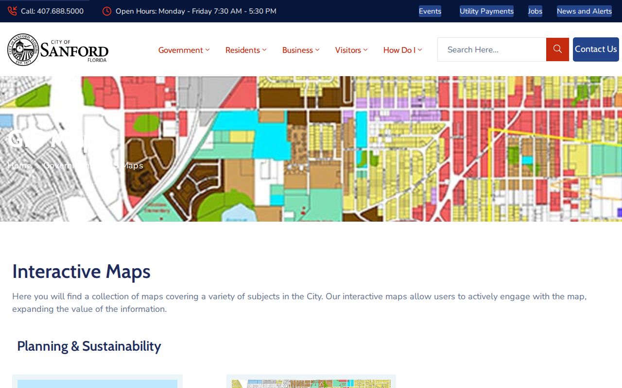
These layers add context to parcel boundaries, but the map is informational and not a boundary survey.
Carry Sanford Addresses into Deeds
Seminole County deeds are indexed by parties and legal descriptions, not reliably by today's address. Start with the latest sale reference on the parcel card. In the Clerk's DuProcess search, enter the precisely indexed owner as grantee, narrow by date and deed type, and compare the legal description. Then search the seller, or grantor, as an earlier grantee.
Official Record Books date to the county's creation in 1913. The Clerk says all Official Records should now be online, though its guide starts a default date at January 1, 1983. Confirm older coverage in the portal or call Land Records at 407-665-4405. Pre-1913 Sanford land may remain in Orange County records.
Search tip. Try every spelling variation of a deed party, advice the Seminole County Clerk expressly gives researchers.
Add Sanford Permits by Address
When GIS confirms a site is inside Sanford, Citizenserve can connect it to building, planning, business-tax, and code activity. Public fields vary by module. Search by address, parcel, permit or case number, contractor, or applicant when offered. A permit can show scope, dates, inspections, applicant, contractor, and completion evidence. It does not prove residence.
If the record is not posted, send a focused Chapter 119 request to the City Clerk through the web portal, by phone, email, or in person. Ask for an existing permit file by address and date range, including application, issued permit, inspection history, and certificate of occupancy. Older code board records may require the Clerk.
Older Sanford Streets by Occupant
The historical layer belongs beside, not inside, the modern owner roll. UCF provides free access to the 1917–18 R. L. Polk directory, including a street section that reverses the alphabetical list. The Sanford Museum holds Polk and telephone-book shelves, city tax rolls from 1920 through 1966, maps, annuals, family files, and Sanford Herald microfilm from 1908 through 2000.
Use the street section for a person or business printed at a number, then use the alphabetical entry for spouse and occupation clues. The tax roll supplies the taxpayer or owner series. The Sanford city directory page covers the collections themselves. A missing name may reflect a skipped canvass, publication gap, move, or address change.
Sanford Records Organized by Address
No source covers all people along a Sanford street. The strongest street directory result keeps each record's scope visible and uses portals, custodian requests, and the Museum.
| Address source | Keeper | Evidence | Access route |
|---|---|---|---|
| Parcel and tax roll | SCPA | Titled owner, mailing and situs, exemptions, sales | Free search, GIS, download, or office |
| Parcel and local maps | SCPA, county, city GIS | Boundaries, nearby parcels, jurisdiction, zoning | Free viewers and data |
| Deeds, liens, plats | Seminole County Clerk | Parties, title chain, legal description | Free index; images, mail, counter, Records Center |
| Voter information | Elections custodians | Registered presence at a residence address | Personal lookup or public extract with exemptions |
| Permits and code | Sanford Development Services | Site, work, applicant, contractor, dates | Citizenserve or city records request |
| Street and tax rolls | Sanford Museum and UCF | Historical occupant, business, taxpayer, owner | Digitized volume, visit, phone, or staff contact |
The parcel number and legal description bridge SCPA, GIS, deeds, and plats. Street and number connect permits and older directory pages. Florida's public voter extract excludes protected records, and nonvoters never appear, so it adds evidence but cannot define a household.
Verify a Sanford Mailing Label
USPS confirms the postal form and ZIP, while GIS answers the separate question of government jurisdiction. Check the USPS city and state ZIP lookup when an old directory entry may have the wrong postal form.
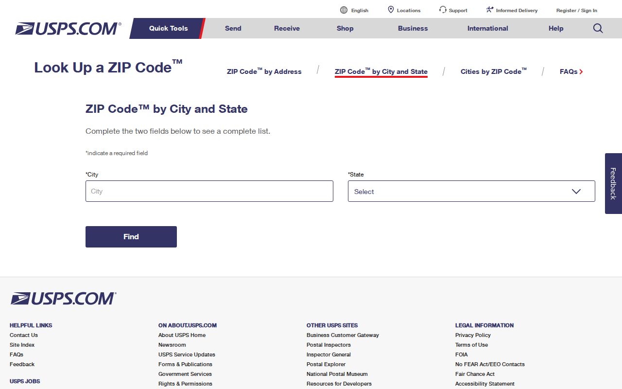
The postal result normalizes a search term. It cannot establish city limits, ownership, or occupancy.
Limits of Sanford Street Records
No official source reviewed supplies a complete list of everyone living in a Sanford dwelling. The property roll omits renters and other household members. Deeds track title, not move-in dates. Permits identify work participants, not residents. Voter data misses nonregistrants and protected voters, while the self-service tool is not a public street browser. No verified public utility-customer directory was found, and driver address data is restricted.
Protected people may use Florida's Address Confidentiality Program or statutory exemptions. Eligible Official Records images or information may be removed from web display even when an index entry remains. Treat gaps as privacy or coverage limits, not proof that a person or record never existed.
Lawful use. Use Sanford address records only for lawful personal research, and never to stalk, harass, intimidate, trespass, or harm anyone.