
Sources for Sanford Neighbors
The strongest block lookup begins with geography, not a name list. The Seminole County appraisal map reveals the parcels touching a target lot. Each parcel card then identifies titled owners and tax-mail destinations. County and city layers answer jurisdiction questions, while public voter data can add registered presence with required exemptions. Historical directory pages show who was listed on a block in an earlier year.
| Source | What It Shows About a Block | Access |
|---|---|---|
| SCPA appraisal map | Parcel boundaries, adjoining lots, titled owners | Free interactive GIS |
| SCPA property roll | Owner, situs, mailing, exemption and sale clues | Free search and daily downloads |
| County Information Kiosk | Jurisdiction, zoning, flood, utilities, schools and districts | Public address lookup |
| Florida voter extract | Registered presence by residence address | Public file with exemptions |
| 1917-18 Polk street section | Past occupants and businesses by number | UCF digital copy and Museum |
| City maps | Historic districts, zoning and elected official | Free city GIS |
A title name proves only the name carried on that assessment record. Matching mailing and situs lines plus a homestead exemption can support owner occupancy for that year, but it never lists renters or other household members. Condominiums also need care because stacked units and common areas can appear as separate tax parcels.
Map a Sanford Block Outward
Use the Seminole County Public Appraisal Map at a scale that shows parcel edges. The tool offers address, parcel, owner, and subdivision searches. A current-view parcel query limits results to the map on screen, while a detailed query searches countywide.
- Enter the full address and confirm the selected polygon fronts the right road.
- Click every parcel that shares a boundary. Add across-street parcels only if that is the stated block scope.
- Save each parcel ID and legal description, not just the displayed owner name.
- Open each appraisal detail and separate situs from mailing address and exemption clues.
- Exclude roads, retention ponds, utility lots, and common areas from any household count.
This produces a defined ring of parcels, not a claim about every person nearby. The map boundaries are informational and are not surveys. When the question expands beyond adjoining lots, the Sanford street directory workflow follows the whole named street.
Daily Sanford Parcel Data
SCPA offers free daily data downloads and a GIS Mailing Labels task for a selected area. Those official tools reduce the need for a paid custom extract. Preliminary 2026 statistics list 181,131 real parcels and 137,979 residential parcels countywide, which also shows why a tight map scope is better than a broad owner list.
A mailing-label result represents titled owners and their tax-mail destinations. It does not represent every Sanford neighbor or prove that the owner lives on the selected block. Save the assessment year and extraction date so later changes do not blur the result.
Sanford Neighbors in Voter Data
Florida treats many voter-registration fields as public. Name, residence address, date of birth, party, phone, and email can be public, while Social Security, driver-license or state-ID numbers, and registration source are closed. A signature may be viewed but not copied. Address Confidentiality Program participants and certain high-risk professionals receive added protection.
The Seminole County Supervisor of Elections provides voter services, but its self-service lookup asks for identity fields and is not a public street browser.
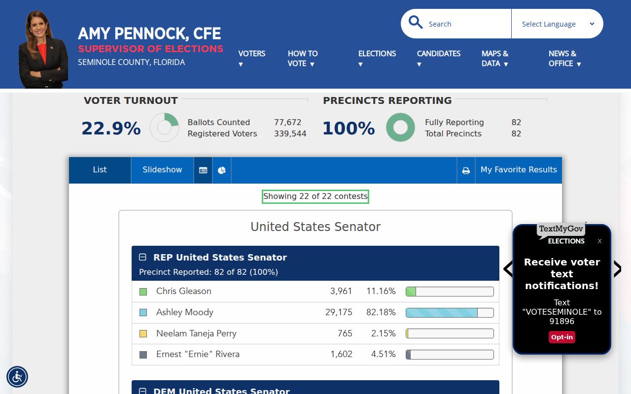
The county page is the right contact point for current local voter procedures and protected-record questions.
For an address-keyed research file, use the Florida voter extract request.
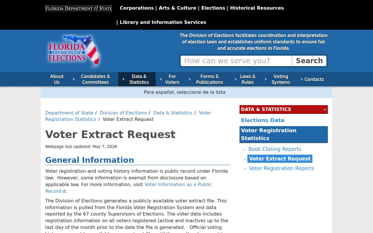
The monthly extract omits exempt fields and still misses nonvoters and recent moves. Any block count is incomplete.
The state also explains which voter fields are public.
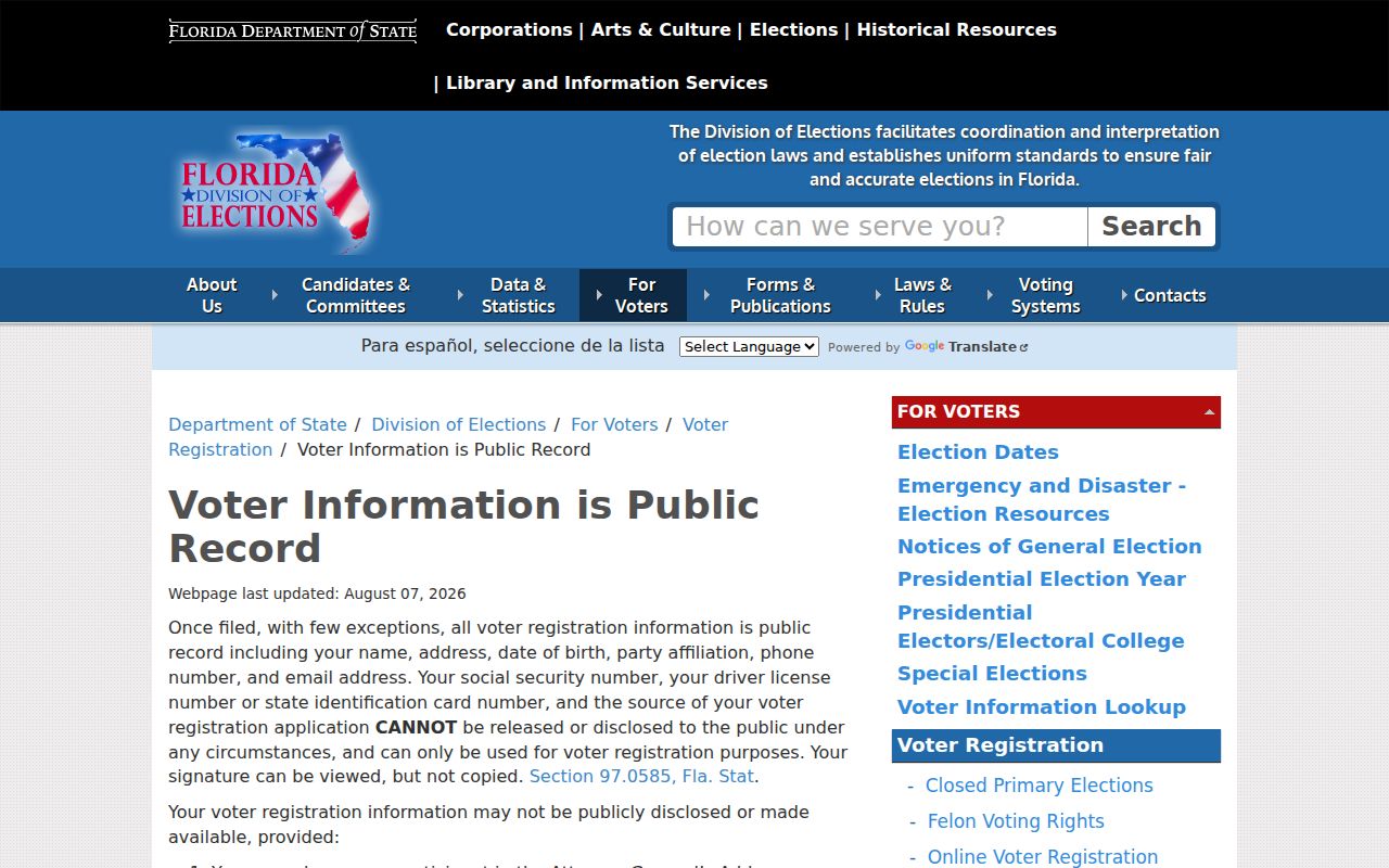
Read those field limits beside the extract, and never infer that an inactive registration proves a person moved.
Place Sanford Neighbors in Districts
The County Information Kiosk adds jurisdiction, land use, zoning, flood, utilities, hydrants, political districts, and schools to an address. These layers explain which public office serves a parcel without exposing private utility-customer records. A postal Sanford address in 32771 or 32773 may lie outside city limits.
Sanford publishes maps for zoning, future land use, historic districts, and elected officials. Downtown Commercial, Sanford Residential, Georgetown, and Goldsboro also carry distinct historical context. The district layer is civic evidence, not proof of private association membership.
Airport Boulevard and postal areas south of the core are especially good reasons to check jurisdiction before calling a city desk. The Information Kiosk can show whether the parcel is in Sanford or an unincorporated county area. Its school and political layers also identify the public bodies that represent a block. Hydrant and utility-provider layers name service geography, not private customers.
Sanford Neighborhood Contact Routes
City Community Relations and Neighborhood Engagement is the official coordination point. No authoritative citywide public list of active associations or household directories was found. Associations generally publish board contacts or keep member-only rosters, so ask the City to verify the current group for a block.
Neighborhood engagement
City coordination for groups, civic programs, and the right current contact.
Development Services
Jurisdiction, planning, building, and address questions. Addressing line: 407-688-5147.
Code Enforcement
Address-based case and lien questions at 407-688-5163.
The Sanford Code Enforcement page explains complaint and lien routes.
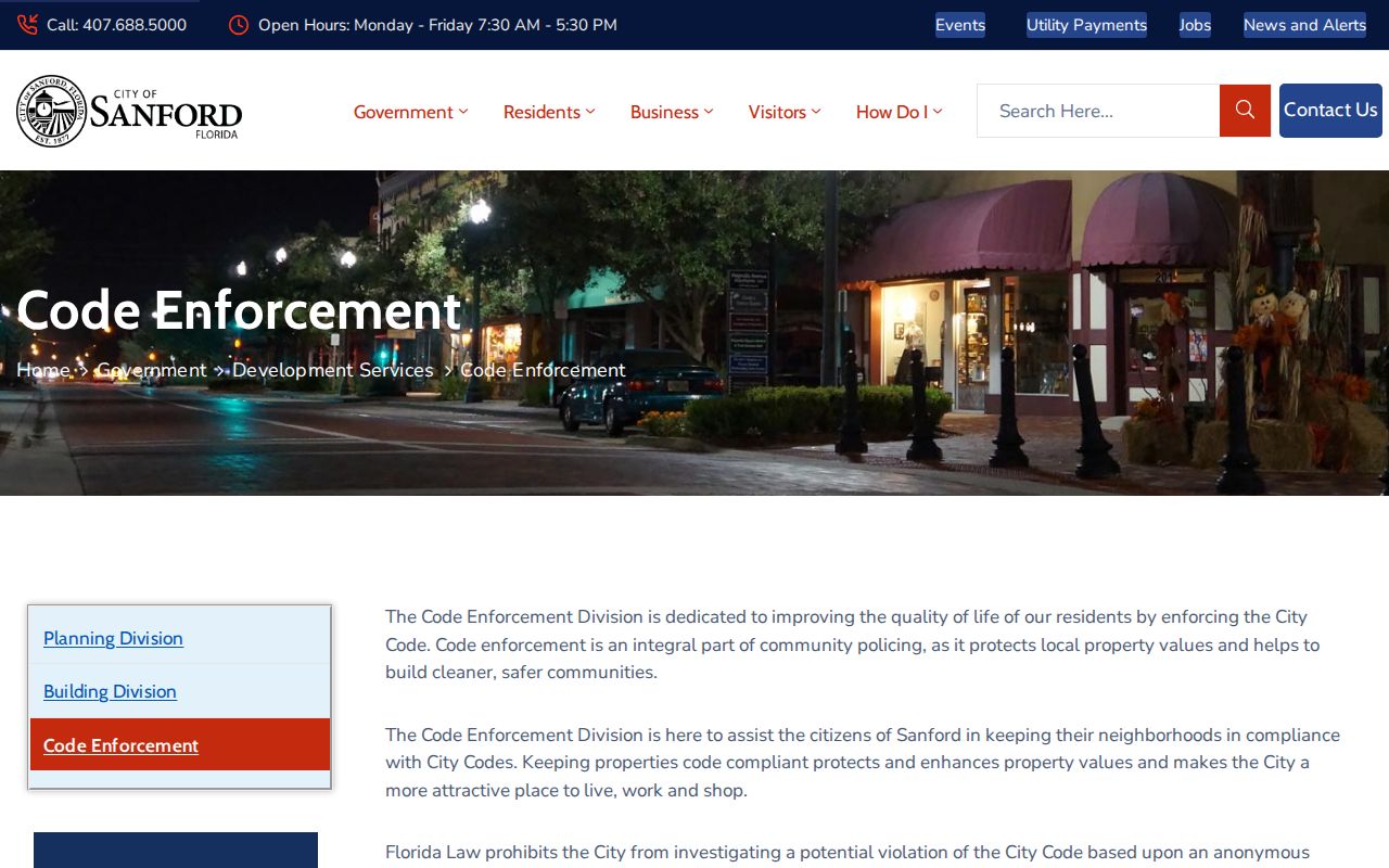
A code record may name an applicant or complainant subject to exemption review, but it does not prove residence.
Florida law generally bars a code investigation based only on an anonymous complaint unless an imminent threat to health, safety, welfare, or the environment exists. That rule can shape what appears in a case file. A precise records request should name the address, case number if known, date range, and the final order or lien sought. For older board material, use the City Clerk request route rather than assuming every case is in the live module.
Official Sanford Rolls Compare Better
Commercial neighbor tools often merge old addresses and copied listings without showing the assessment date or custodian. Official records are narrower, but their roles and dates can be checked at the source.
| Route | Strength | Limit |
|---|---|---|
| Official parcel and GIS rolls | Dated parcel, owner, and map context | Not a household roll |
| Official voter extract | Defined public fields and exemptions | Excludes nonvoters and protected people |
| Commercial compiled category | May combine many old sources | Provenance, freshness, and roles may be unclear |
Privacy for Sanford Neighbors
Public property rolls do not list renters or all household members. Utility and DMV customer data are not general public directories. Protected voter and address records may be suppressed under Florida law, including the Attorney General's Address Confidentiality Program and qualifying professional exemptions.
A health-profession license is a role record, not proof that someone lives at an address. The Florida health care provider lookup should be used only to confirm a known professional credential.
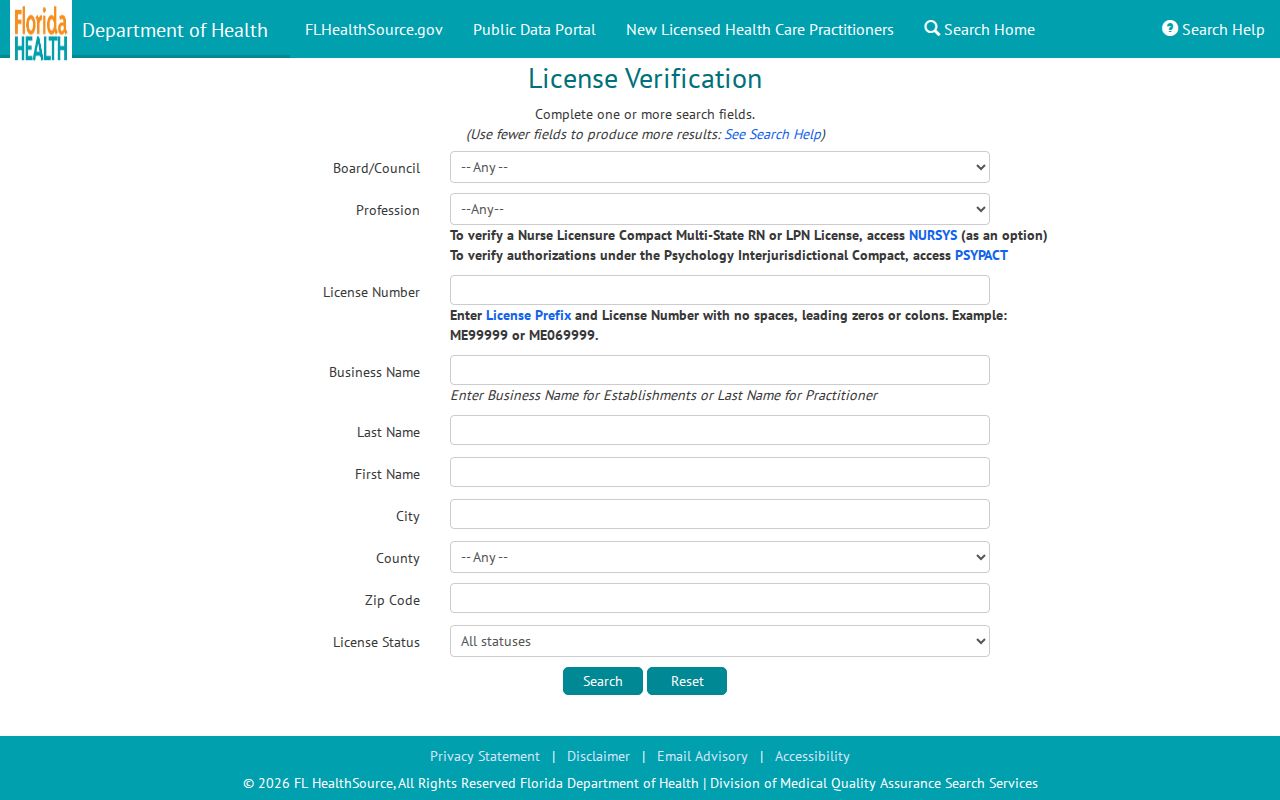
The result can confirm a license status or practice detail while leaving the block question to parcel and voter custodians.
Florida's Address Confidentiality Program gives eligible participants a substitute mailing address, and separate statutes protect location information for some high-risk professionals. A missing address is therefore not evidence of absence. Respect redactions and do not try to rebuild a protected location from other records.
Lawful use. Use Sanford neighbor records for civic curiosity, reconnection, or personal safety awareness. Never use them to watch, intimidate, harass, or harm anyone.